Case studies tagged with mapping

Displaying 1 - 3 of 3

The cities of Helsinki, Espoo and Vantaa: How to preserve BiodiverCities under the pressure of infill development

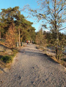
Seurasaari Open-Air Museum, Helsinki, 2018, by Leena Kopperoinen Helsinki 2018

The Helsinki Metropolitan Area consists of the cities of Helsinki, Espoo, Vantaa and Kauniainen and it is located in the south coast of Finland. The Metropolitan Area covers 772 square kilometres and contains a total population of approximately 1.1 million. With about 19 per cent of the country’s population in just 0.2 per cent of its surface area, the housing density of the area is high by Finnish standards. Despite the intensity of land use, the area also has large recreational areas and green spaces.

Our EnRoute city lab covers the cities of Helsinki, Espoo and Vantaa. The tiny...More

Read more


Oslo BiodiverCity - Maintaining ecosystem services in a rapidly developing but biodiversity rich city

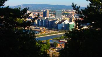
Oslo has been one of the fastest growing metropolitan areas in Europe (Stange et al. 2018). However the area that is available for development is limited by the protected Marka forest surrounding the city to the north and east, and the fjord to the south. The growing population is being accommodated at the rate of around 3000 new buildings every year and the need for 100 000 new buildings is predicted by 2030 (Oslo Municipal Plan 2015-2030). Oslo has the highest species diversity of any municipality in Norway, with a large number of species found in-between buildings in the built zone....More

Read more


Leipzig

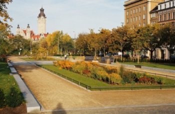
Leipzig is a growing city with green ambitions. It is one of Germany's greenest cities with an average of 254 m² green space per inhabitant. Leipzig is highly dynamic, so how can the city maintain or even enhance ecosystem services of green and blue infrastructure under the conditions of urban growth, land use pressure and recompaction? To better understand where urban green infrastructure is under pressure, the Leipzig EnRoute city lab mapped the presence of urban green space at high resolution and combined it with detailed population statistics. The mapping exercise provided an...More

Read more