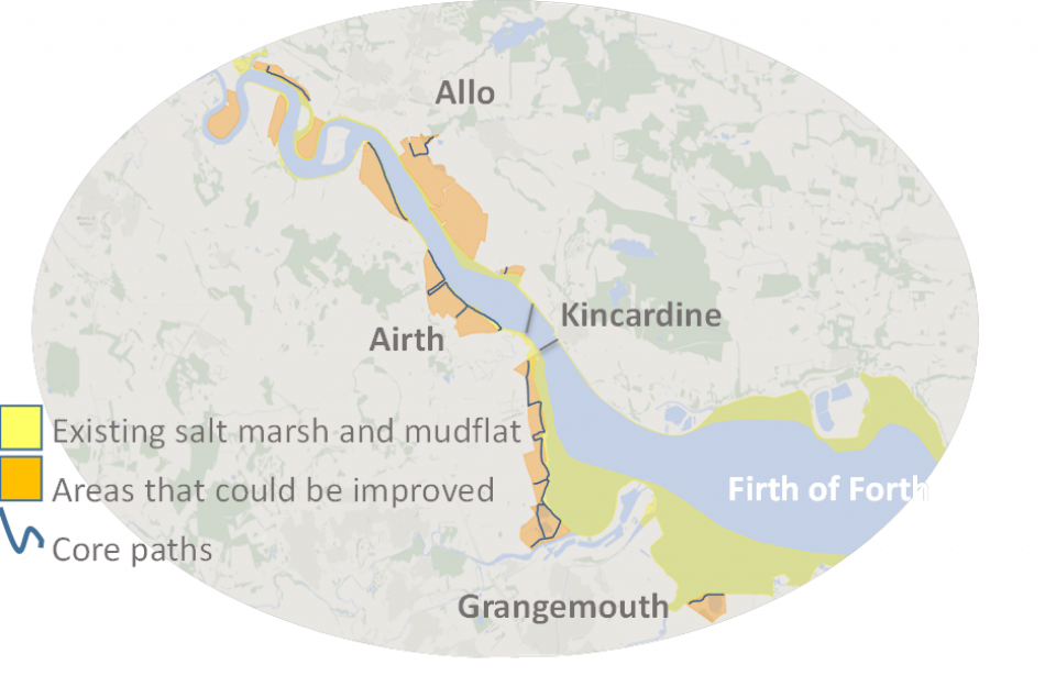
The Inner Forth estuary in Scotland is a complex socio-ecological system, marked by centuries of human activities and impacts. Approximately fifty percent of intertidal habitats in the Inner Forth Estuary were historically claimed for agricultural and industrial use. The remaining saltmarshes, an important habitat for birds and invertebrates, have been fragmented. This has led to a decrease in a range of important ecosystem services, such as erosion control and flood protection, but on the other hand has provided provisioning services from agricultural production on the claimed land areas.
This exemplar aims to: Map and describe existing and potential use and non-use community-held values of the estuary; Elicit community-held preferences and willingness to pay for coastal land use and management on landscape-scale; Test impacts of deliberation on preferences for estuarine land in a workshop setting; Contextualise study findings through institutional analysis; Identify ecosystem values held by land-owners and their attitudes towards coastal realignment; Understand future visions for the estuaries from diverse stakeholders; Test operational potential and impact of valuation outcomes in the local policy context
- Giving voice to local communities values about landscape-scale land management
- Providing understanding that can support planning in local authorities
The methods developed in this exemplar, and the lessons learned, will be valuable for other landscape scale projects.
