The wetland restoration area is characterized by a “Bocage” landscape type with a mix of pastures and forested edges, intertwined with agriculture and forest patches. Fragments of semi-natural ecosystems (e.g. wetland forests) remain in certain locations of the lowland valley such as the right margin of Lima (Estorãos tributaire). Biotic threats include invasive exotic species expansion and emerging diseases causing extensive and critical decline of dominant wetland species, e.g. Alnus glutinosa), compromising key functions and ecosystem services such as carbon sequestration. Gravel extraction and the upstream damming caused profound effects on the estuary of Lima river (NW Portugal) reflected by the collapse of banks, and destruction of riparian vegetation. Other drivers/pressures at the basin level include land use changes (e.g. abandonment of traditional bovine cattle’s grazing systems; intensification of agriculture); forest fires, saline intrusion from sea, infrastructures densification.
After around 21ha of floodplain area were passively and actively restored under the LIFE FLUVIAL project, an enlarging of the intervention area is now being implemented. The floodplain forest restoration intends to develop/demonstrate an ecological restoration approach for fluvial floodplains transferable to lowlands at the biogeographic region (NW of Iberian Peninsula). The case study also aims at taking local stakeholders on board and reconcile the protection of priority habitats with traditional cattle production. The case study will also integrate an educational dimension and aims at contributing to the improvement of transnational strategies for floodplain restorations.
This case study is one of 17 that are part of the EU Horizon2020 project MERLIN - Mainstreaming Ecological Restoration of freshwater-related ecosystems in a Landscape context: INnovation, upscaling and transformation.
Restoration methods of the wetlands include both passive and active restoration using soil engineering techniques to stabilize estuarine banks and marshes affected by erosion complemented by revegetated transversal structures (deflectors, groynes), to capture sediment to compensate for the deficit after gravel dredging to stop bank retreat.
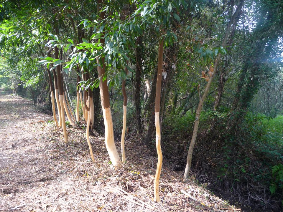
The restoration programme at the floodplains involves forestry management (Eucalyptus plantations), exclusion and control of invasive species and salt marshes protection. Within the river, fish ramps are built to improve passage. The case study also includes interaction with agriculture and forestry (management of pastures and local bovine races in articulation with nature values conservation, control of soil loss after the recurrent forest fires in the region).
At the catchment level, there is a monitoring and modelling of sediment transport and deposition in relation with soil use and potential disturbances associated (with a priority on wildfires) in order to assess the consequences in the river channel and estuarine area and to define the appropriate catchment management, such as regulation of gravel extraction.
- restored floodplain forests, leading to increased carbon sequestration
- flood protection and water purification
- restoration of natural habitats, healthy enough to resist invasion by alien species
- improved river connectivity for diadromous and potamodromous fish
- Flood peak reduction
- Increase infiltration / Water storage
- Reduce flood risk
- Reduce run-off
- Carbon sequestration and storage
- Restoring ecosystems and their functions
- Increase achievements of biodiversity targets
- Increase quality and quantity of green and blue infrastructures
- Increased cultural richness and biodiversity
- Improve water quality
- Increase awareness of NBS solution & their effectiveness and co benefits
- Increase population & infrastructures protected by NBS
- Social learning about location & importance of NBS
Further information
- 6. Clean Water and Sanitation
- 12. Responsible Consumption and Production
- 13. Climate Action
- 14. Life Below Water
- 15. Life On Land
