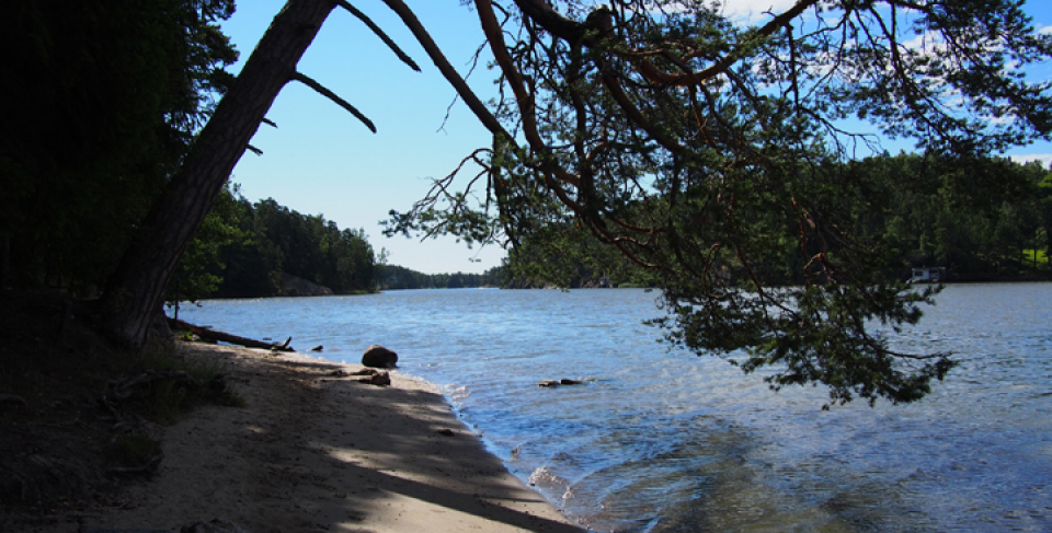
Coastal area east of Helsinki, Southern Finland. The area, covering about 26 km2 and owned partly by the municipality and partly by private land-owners, has prior planning and is an agricultural and forest-dominated landscape, including the Sipoonlahti bay as a centre of the area. The area has unique natural values, including Natura 2000 sites, exceptional fjord-like bay area and archipelago. In addition, there are specific historical and cultural heritage values in the area.
Exploring how ecosystem services can be integrated in a land-use planning process using a real-life planning case. A special focus is on multifunctional green infrastructure and applying new tools to operationalise ecosystem services in the plans in a participatory way.
The unique natural values of the area have received the attention they deserve. A better understanding of the values of the services that ecosystems offer to the area is leading to more resilient solutions in allocating land for different purposes. The desired outcome is a master plan that presents novel thinking in ecosystem-based community development.
The results are relevant to other developing urban areas and can be beneficial to urban planners and decision-makers in general. The results offer an example of how the ecosystem services approach can be applied in urban planning and what methods can be used to support this. The case also serves as an example of working in a participatory way both in planning and research.
The stakeholders were very positive towards Ecosystem Services (ES) concept and methods, but it remains to be seen how well the new ES-based approach will be present in the resulting plans. Sectoral collaboration and ability to comprehend the multifunctional nature of green infrastructure are prerequisites for applying the ES-based approach. The GIS-based tools of mapping ES are a good way to illustrate the provision of and demand for ES, as well as the areas of conflicting interests.~