A Citizen Science app for mapping river barriers & freshwater features
What was the idea about?
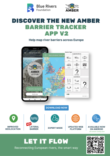
- AMBER used a Citizen Science app to map river barriers
- We adapted the app to map other freshwater features & stressors of biodiversity using open code
- We have shared the results & promoted CS data across cities and regions
What were the main objectives?
- To update the barrier tracker app to include lateral barriers & quality of vegetation
- To develop a generic, open source mapping platform adaptable to other needs (e.g. mapping ponds, pollutant sources or particular species)
Image:

How was it developed?
- Wish list developed via consultation with potential users
- Focus groups
- Extensive communication
- Dissemination event
Image: